Data
Open datasets that make research accessible and reusable.
OSM Land Use
Heidelberg University · HeiGIT
European land-use information derived from OpenStreetMap and Sentinel-2. The associated publication describes a dataset at 10-metre resolution.
From observation to information
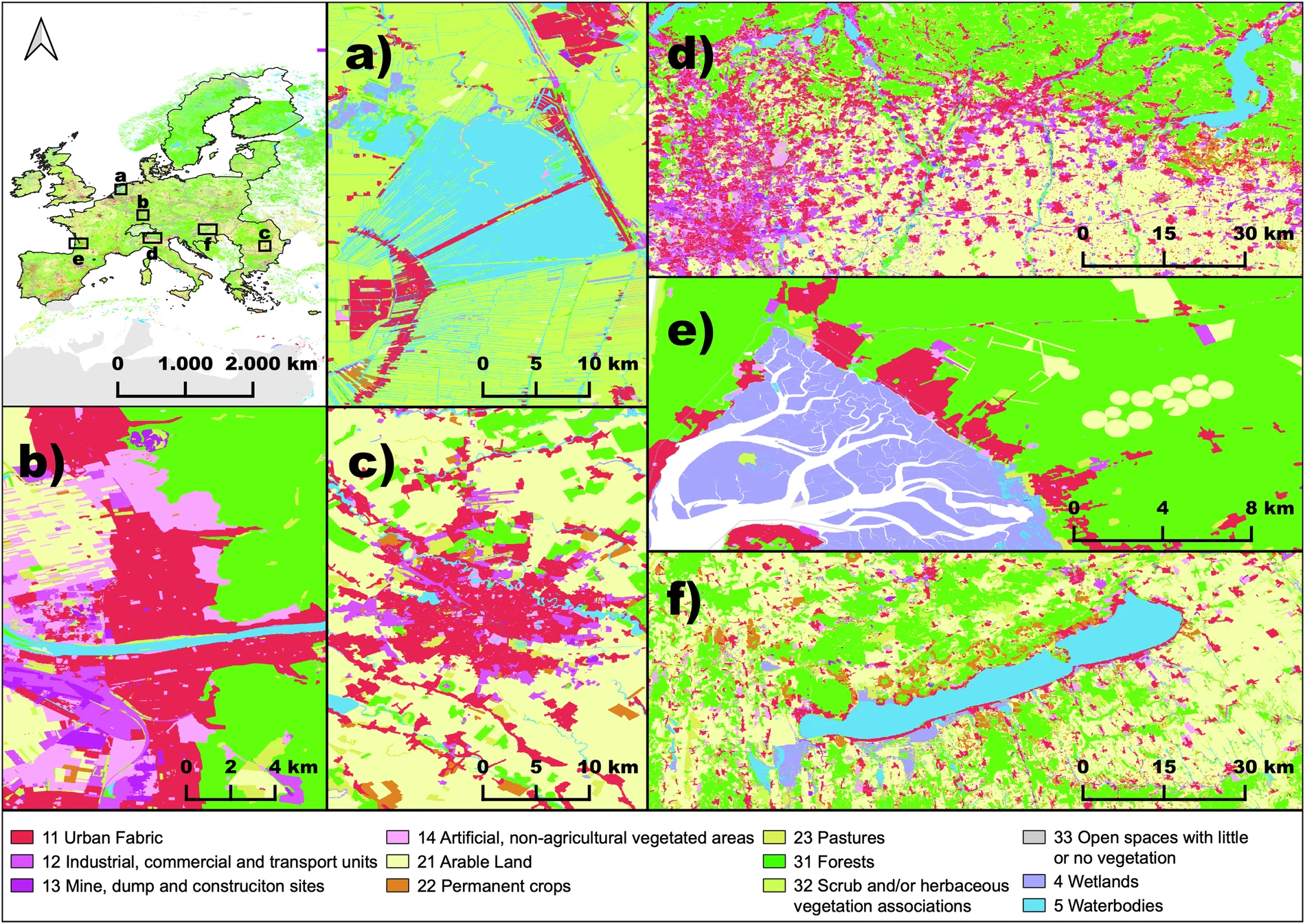
Europe, at 10 metres.
OSMlanduse brings OpenStreetMap and Sentinel-2 together to map land use across the European Union.
Explore OSMlanduseSchultz et al. (2025), Fig. 2 · CC BY 4.0. Map data © OpenStreetMap contributors.
Explore the wider work
Flood Risk Adaptation Measures and Evaluation (FRAME) brings together flood scenarios and adaptation evidence for Vietnam. It was developed within FloodAdaptVN, whose current implementation phase is funded by BMFTR. Trade Fluidity & Border Monitoring connects World Bank research with an interactive Border Observatory and the WBEO geospatial catalogue.
Using the data
The heiDATA record provides the files, version information, and applicable reuse terms. Please cite the dataset and associated publication when using this work.